Information as art - for your walls


PREMIUM Sea To Sky Map - $100
Printed on premium low-lustre photo paper!
24" x 36"
This stunning and unique reference map represents the geographic essence of the Sea To Sky area and captures the journey from the coastal waters of Howe Sound to the mountain ranges of Whistler.

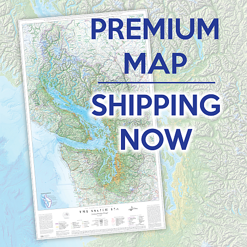
PREMIUM Salish Sea Map - $120
AWARD-WINNING MAP!
Printed on premium low-lustre photo paper!
26" x 44"
This unique and important reference map is the most geographically expressive map ever made for the region. It'll give you a clear sense of place for an area that eight million people call home.

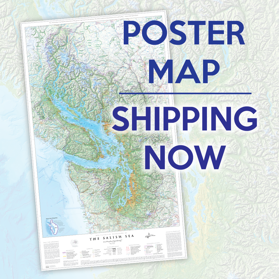
POSTER Salish Sea Map - $60
Poster version - printed on heavy bond paper!
23" x 39"
This unique and important reference map is the most geographically expressive map ever made for the region. It'll give you a clear sense of place for an area that eight million people call home.
Our Hiking Maps
-
Garibaldi Provincial Park, BC, Canada - Map 102
![]()

- Regular price
- $21.95
- Sale price
- $21.95
- Regular price
-
- Unit price
- per
Sold out -
Manning and Skagit Valley Parks, BC, Canada - Map 104
![]()

- Regular price
- $21.95
- Sale price
- $21.95
- Regular price
-
- Unit price
- per
Sold out -
Callaghan Valley Area, BC, Canada - Map 103
![]()

- Regular price
- $21.95
- Sale price
- $21.95
- Regular price
-
- Unit price
- per
Sold out -
Banff, Yoho & Kootenay Parks, Canada - Map 120
![]()

- Regular price
- $18.95
- Sale price
- $18.95
- Regular price
-
- Unit price
- per
Sold out -
Algonquin Park - Hwy 60 Corridor, ON - Map 501
![]()

- Regular price
- $18.95
- Sale price
- $18.95
- Regular price
-
- Unit price
- per
Sold out


