


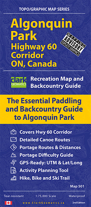

Algonquin Park is Canada's first provincial park and, to this day, one of its most popular canoeing and camping destinations. With over 800,000 visitors making their way through the park every year, the Highway 60 Corridor, lakes and trails can get a little busy and park staff recommend people take the time to plan their trips and arrive prepared. This map was made for this!
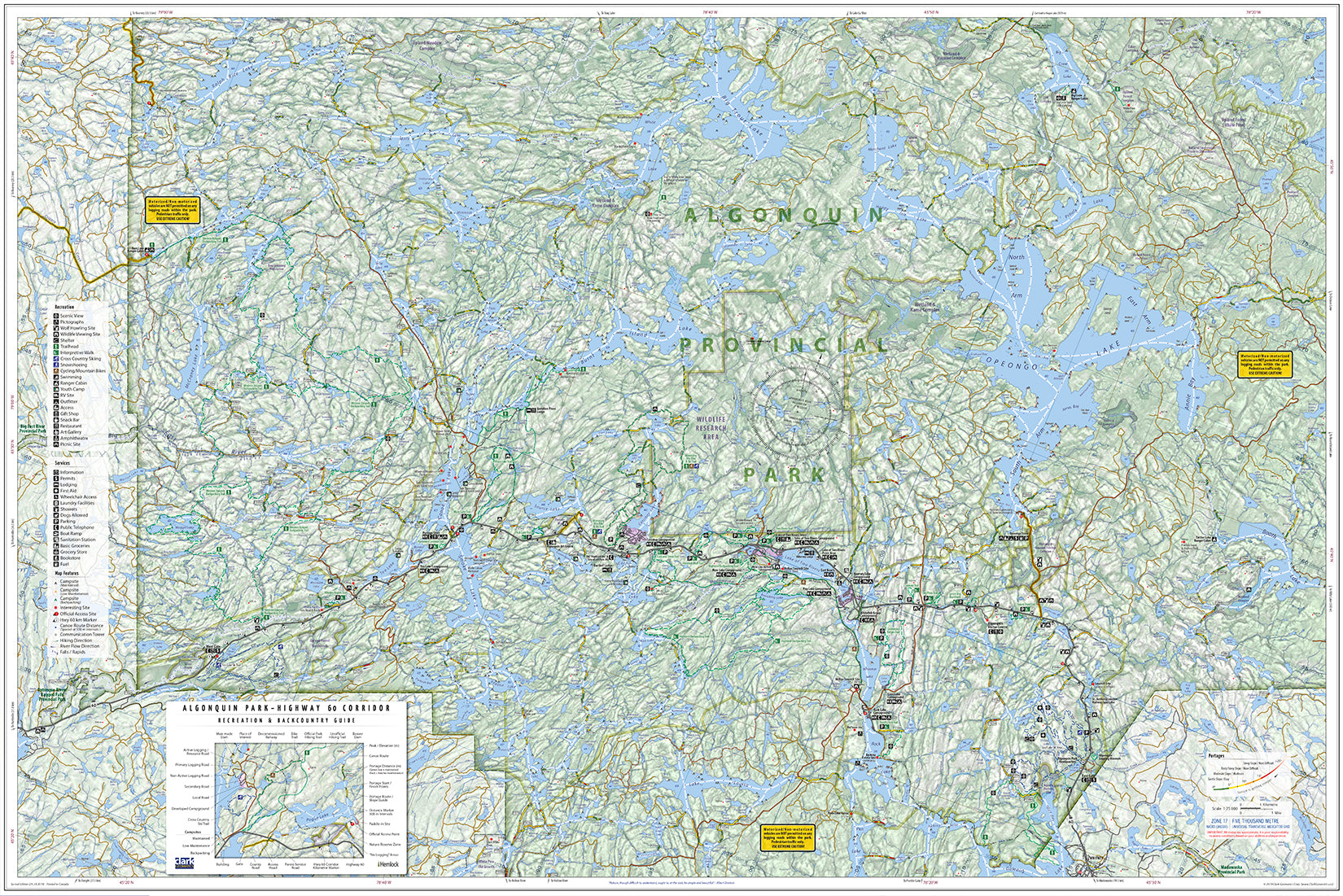
Use this beautifully detailed 1:75,000 scale map to plan your trip and bring it with you on your trip to help with portages, navigation and finding campsites. We've crammed all this info on the Hwy 60 Corridor (1:75,000 scale) into one, single map (not two, three or four, like many of our map-making friends have done).
If you're starting your Algonquin experience anywhere near Highway 60 - like most people do - you'll want this map because we've got it covered, in detail!
Map Features:
- Covers Popular Hwy 60 Corridor
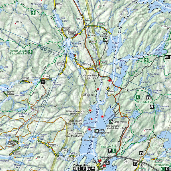
- Detailed Canoe Routes
- Portage Routes & Distances
- Paddling Distances
- Portage Steepness Index - a life-saver!
- GPS-Ready: UTM & Lat/Long
- Hike, Bike & Ski Trails
- Unique Activity Planning Tool
- Highlighted Access Routes
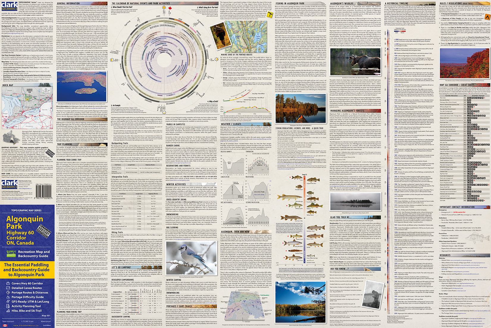
- Information Guide & Photos
- Waterproof and Tear Resistant